First screen, captured .
Looks similar
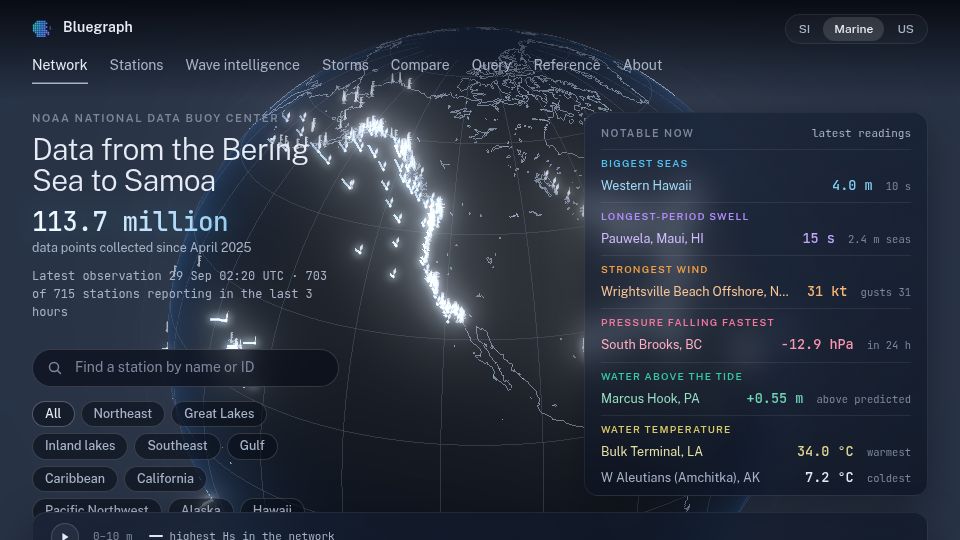
Bluegraph – Explore NOAA buoy data, rebuilt in 3D from measured spectra(bluegraph.io)
15 points by polytap | 2 comments
Bluegraph is a web app for exploring NOAA National Data Buoy Center observations on a 3D globe, with station search, wave spectra, storms, and notable readings.
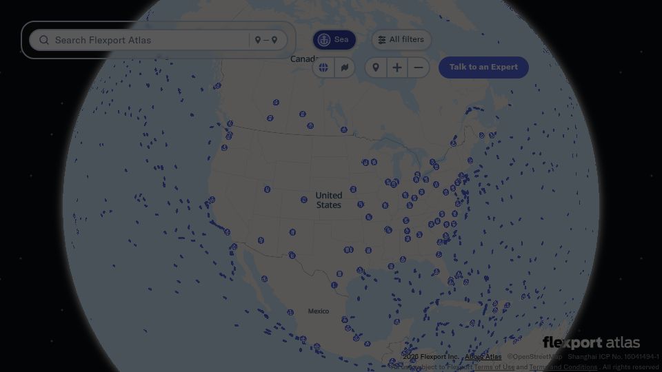
Flightradar24 for Ships(atlas.flexport.com)
232 points by chromy | 47 comments
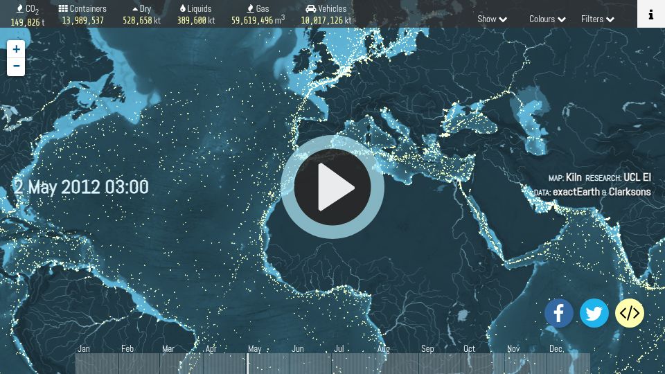
Shipmap.org(shipmap.org)
736 points by surprisetalk | 112 comments
Interactive animated map visualizing global commercial shipping movements during 2012, with cargo types and CO2 emissions, by Kiln and UCL Energy Institute.
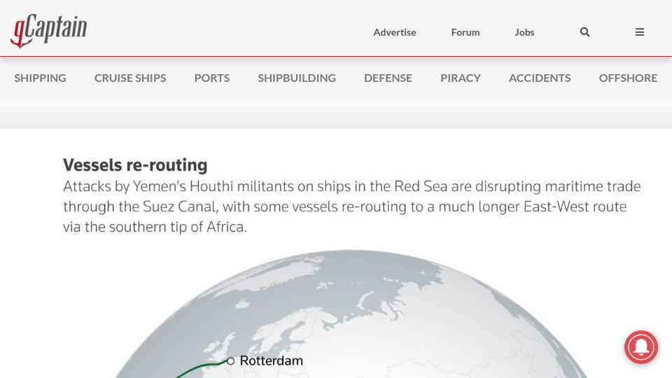
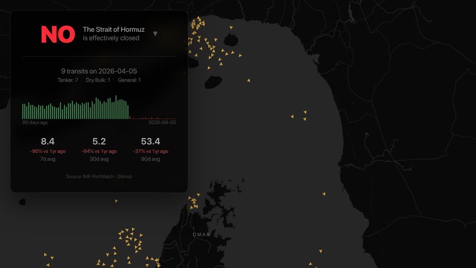
Show HN: Is Hormuz open yet?(ishormuzopenyet.com)
394 points by anonfunction | 158 comments
A single-page tracker showing whether the Strait of Hormuz is open, with daily ship transit counts from IMF PortWatch and a map of vessel positions.