PostGIS postgis.net ↗
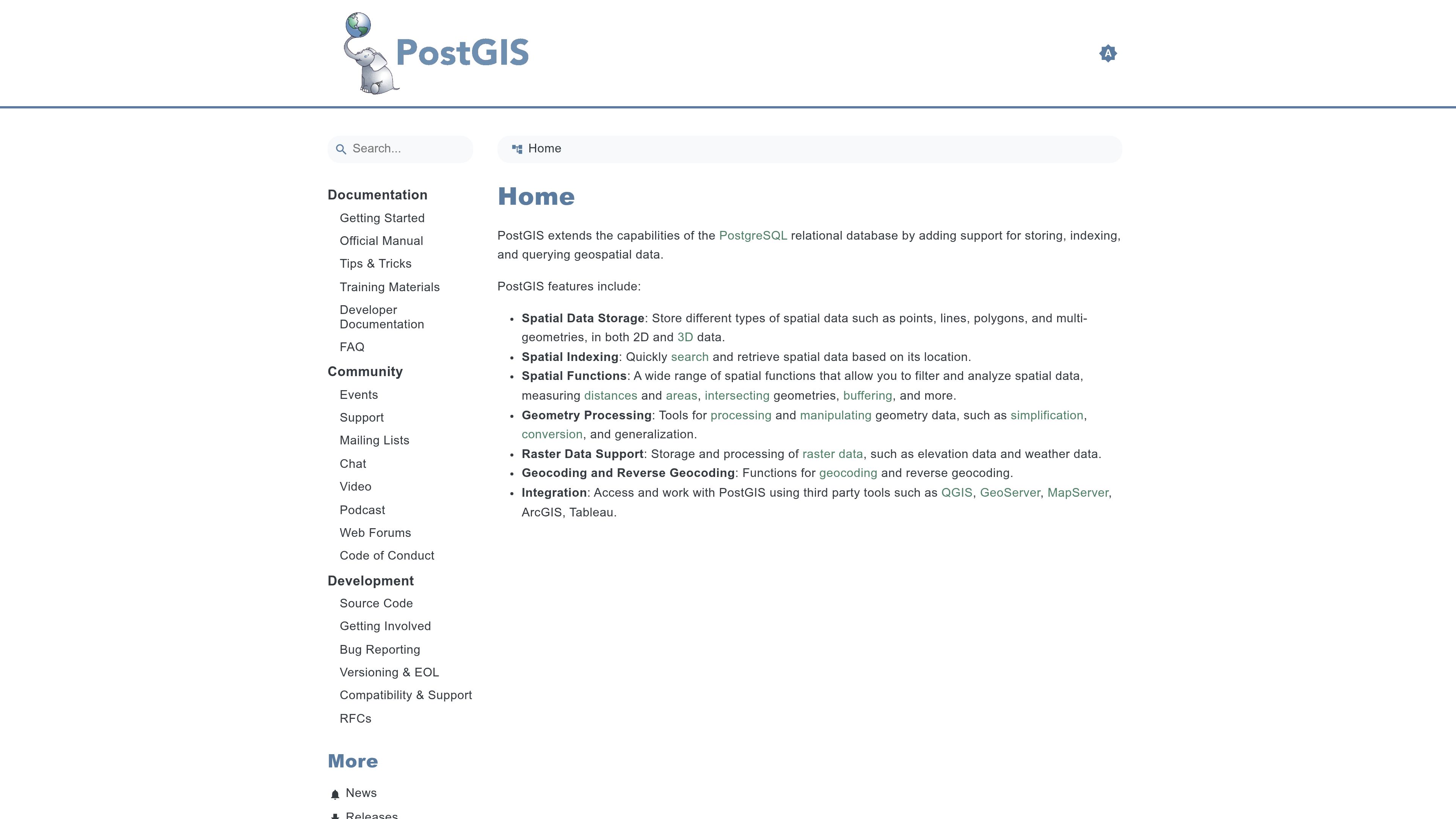
Spatial extension for PostgreSQL.
ToolDatabasesgispostgresqlspatial
Captured
Recommended in 1 thread
 USPS now offers official ZIP Code boundary polygons
postalpro.usps.com ·
Handles multipolygons with holes and overlaps for ZIP data.
Similar tools
- 0 threads
- 1 thread
- 1 thread
- 1 thread
- duckflight-extension ↗Databases1 thread
DuckDB extension exposing a database over Postgres wire protocol or Arrow Flight.
- Litestream ↗Databases1 thread
A tool that continuously replicates SQLite databases to object storage like S3.
- Postpass ↗Data & analytics1 thread
A Geofabrik service exposing OpenStreetMap data in Postgres for SQL queries over an HTTP API.
- 1 thread






Also in Databases
- 2 threads
- 2 threads
- 1 thread
- BigQuery1 thread
Google Cloud's serverless data warehouse.
- CAVE ↗1 thread
A local-first, agent-friendly knowledge language with claims, rules, uncertainty and history stored in text files or SQLite.
- ClickHouse Playground ↗1 thread
A public ClickHouse instance that includes a real-time updated Hacker News dataset.
- 1 thread
- 1 thread
- Jepsen ↗1 thread
Jepsen is a testing library and consultancy that analyses the safety of distributed databases.
- 1 thread
- 1 thread
- 1 thread







Link from a commenter, not checked or endorsed by us: ↗ https://postgis.net/