
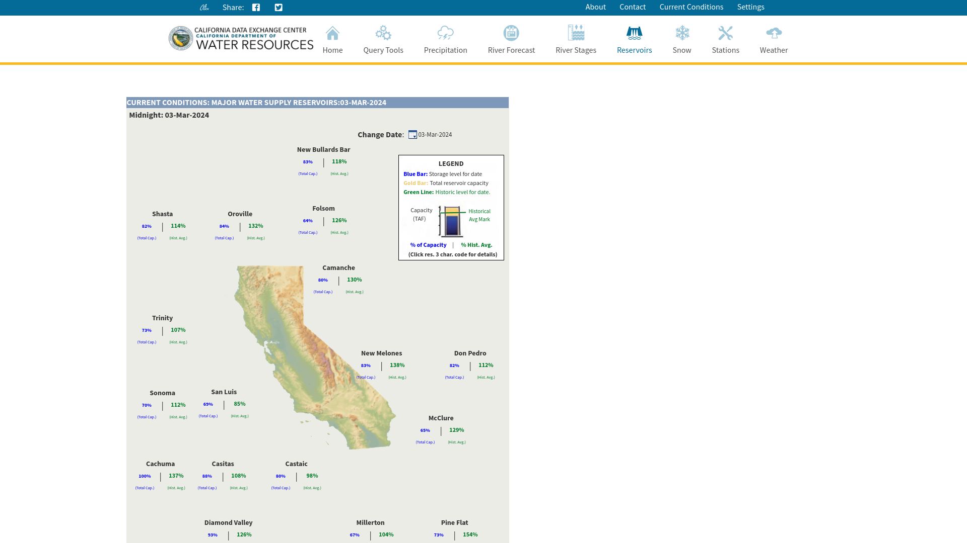
First screen, captured .
Looks similar
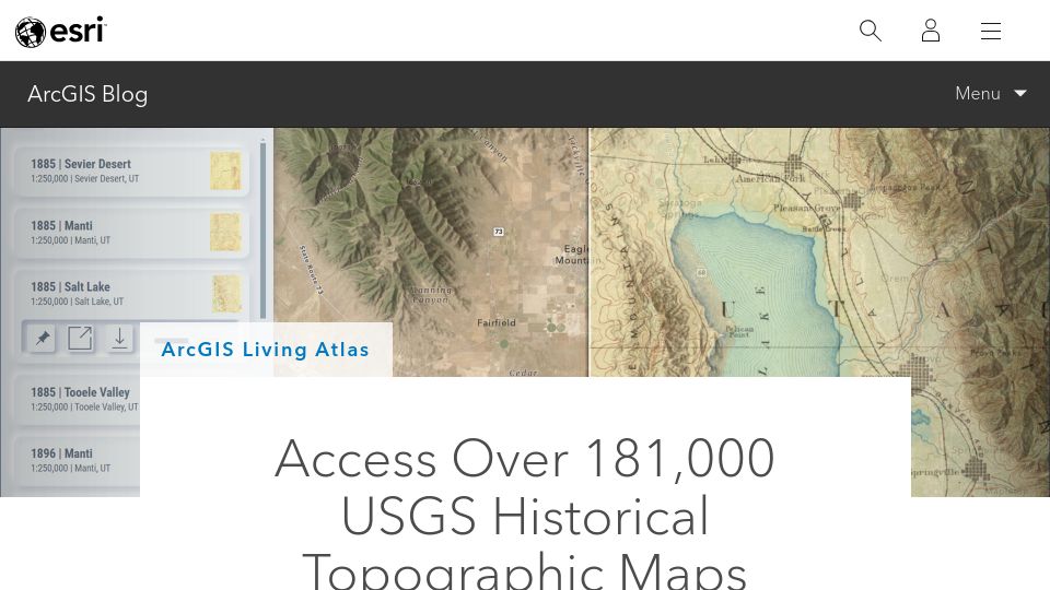
USGS Historical Topographic Maps(esri.com)
217 points by bryanrasmussen | 42 comments
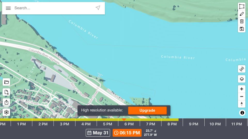
Show HN: Every mountain, building and tree shadow mapped for any date and time(shademap.app)
648 points by tppiotrowski | 181 comments
ShadeMap is an interactive web map that simulates shadows from terrain, buildings, and trees for any location, date, and time.
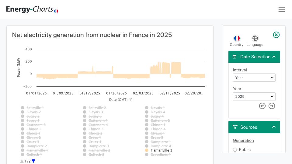

AI uses less water than the public thinks(californiawaterblog.com)
359 points by hirpslop | 320 comments
California WaterBlog post examining AI and data center water use, arguing concerns are overstated and drawing lessons for California water management.