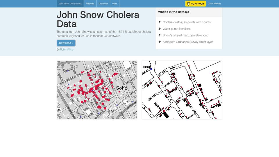
John Snow Cholera Data(johnsnow.rtwilson.com)
5 points by surprisetalk | 2 comments
A dataset by Robin Wilson digitising John Snow's 1854 Broad Street cholera map, with death points, pump locations, and georeferenced maps for GIS software.
16 stories tagged gis, newest first.
5 points by surprisetalk | 2 comments
A dataset by Robin Wilson digitising John Snow's 1854 Broad Street cholera map, with death points, pump locations, and georeferenced maps for GIS software.
294 points by otherwatersflow | 191 comments
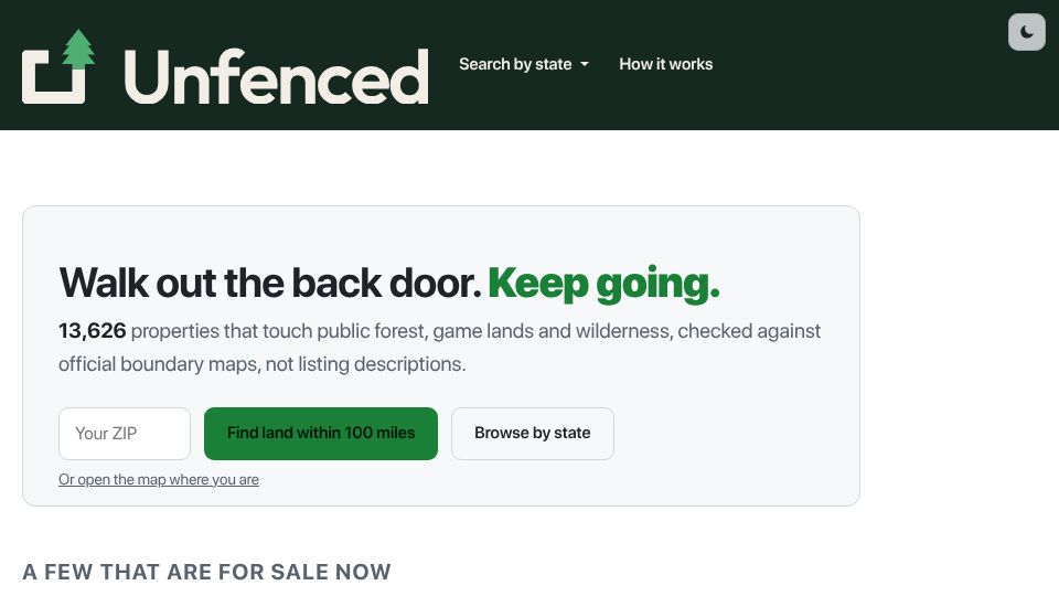
Unfenced is a search site listing properties for sale that border public forest, game lands and wilderness, verified against official boundary maps.

361 points by bwnkl | 391 comments
Merged GitHub pull request adding QGIS Enhancement Proposal 428, which changes the project's policy to forbid AI-generated contributions.
23 points by carlos-menezes | 5 comments
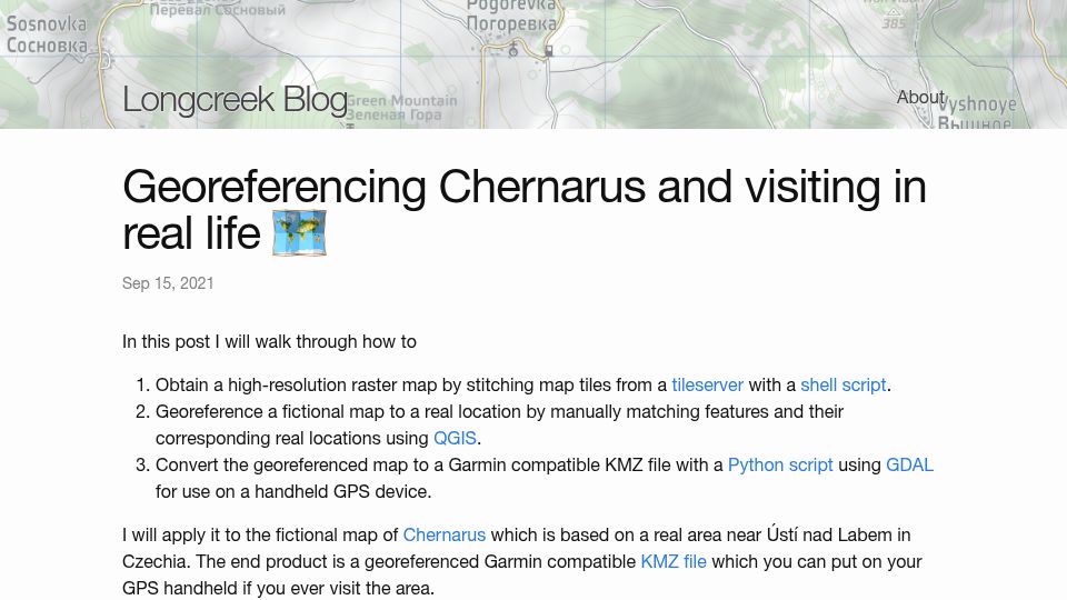
Blog post explaining how to stitch map tiles, georeference the fictional DayZ/Arma map Chernarus in QGIS, and convert it to a Garmin KMZ for visiting the real area in Czechia.

406 points by todsacerdoti | 79 comments
MapLibre blog post announcing MapLibre Tile (MLT), a new modern and efficient vector tile format.
414 points by efskap | 92 comments
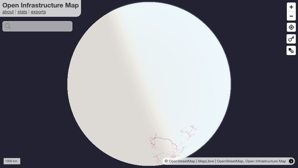
Open Infrastructure Map is an interactive globe map showing power lines, telecoms, oil, gas and other infrastructure from OpenStreetMap data.
545 points by rcarmo | 120 comments
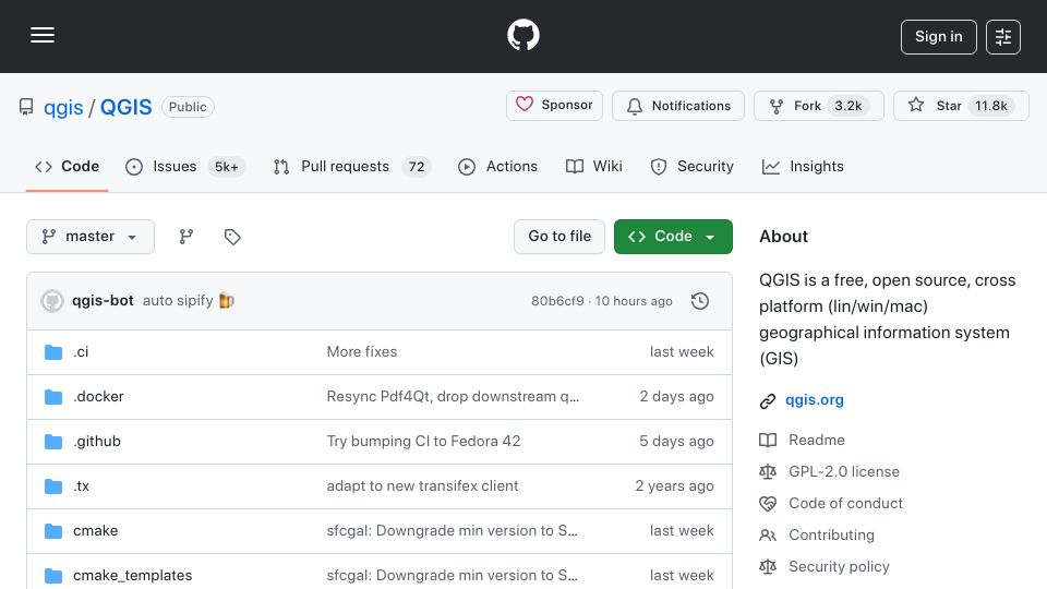
GitHub repository for QGIS, a free, open-source, cross-platform geographical information system for Linux, Windows, and macOS.
444 points by dbreunig | 139 comments
Blog post by Drew Breunig arguing that DuckDB's spatial extension has made geospatial data accessible to far more people than specialized GIS tools.

444 points by marklit | 142 comments
Mark Litwintschik's blog post examining OpenStreetMap's new vector tiles, which supplement its long-standing pre-rendered raster PNG tiles.
432 points by ohjeez | 181 comments
An Esri StoryMaps feature about one man's mission to map the more than 20,000 ships that sank during World War II and the stories behind them.
369 points by wfme | 109 comments
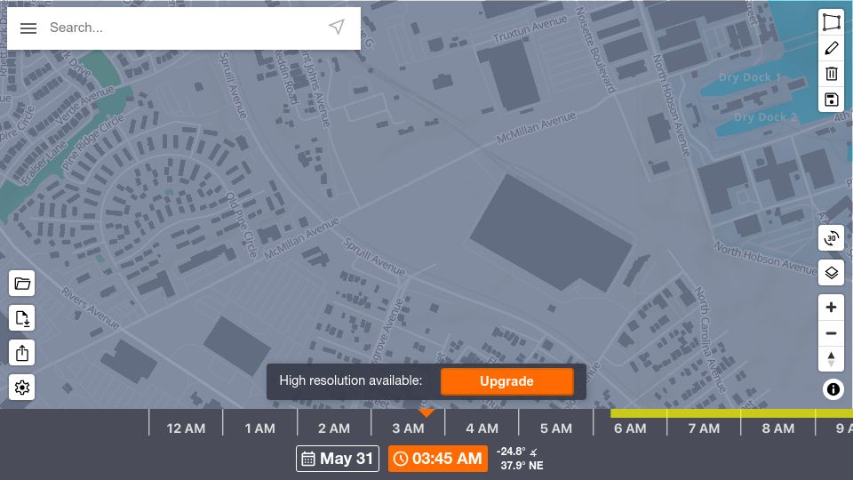
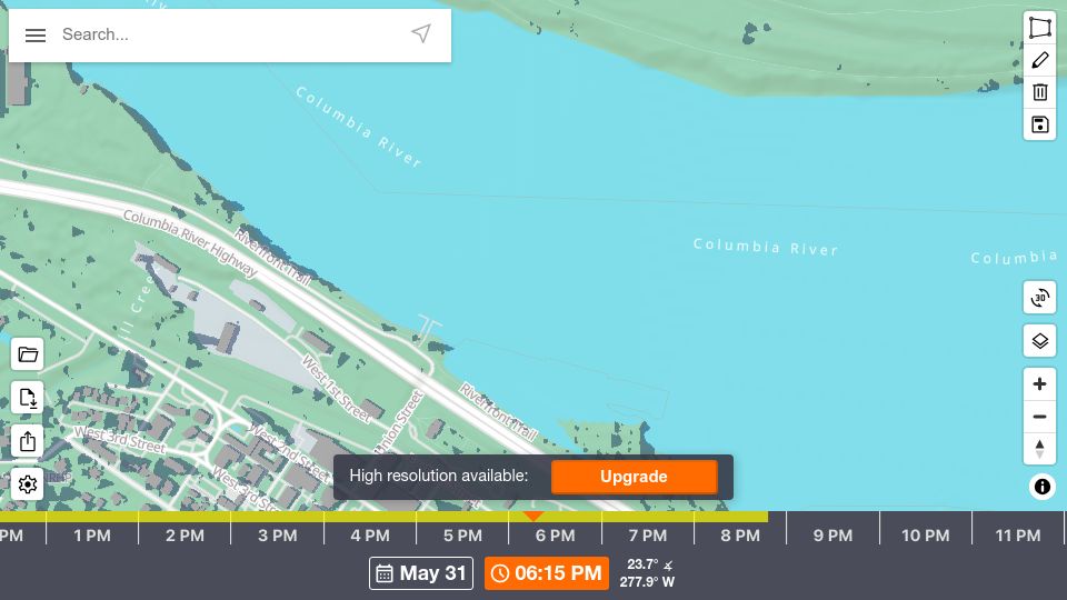
ShadeMap is an interactive web map that simulates shadows cast by terrain, buildings and trees worldwide for any chosen date and time.
648 points by tppiotrowski | 181 comments
ShadeMap is an interactive web map that simulates shadows from terrain, buildings, and trees for any location, date, and time.
377 points by wcedmisten | 135 comments
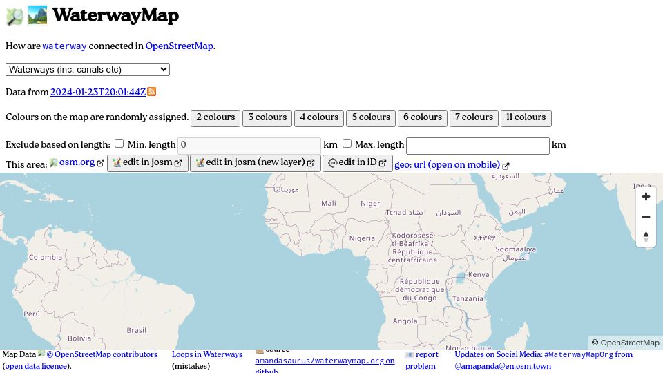
WaterwayMap is an interactive map showing how waterways and canals are connected in OpenStreetMap data, with randomly colored connected river networks.

546 points by Tomte | 128 comments
Tom MacWright's blog post announcing that Placemark, his bootstrapped mapping/GIS startup, is shutting down and releasing its code as open source.
909 points by rcarmo | 147 comments
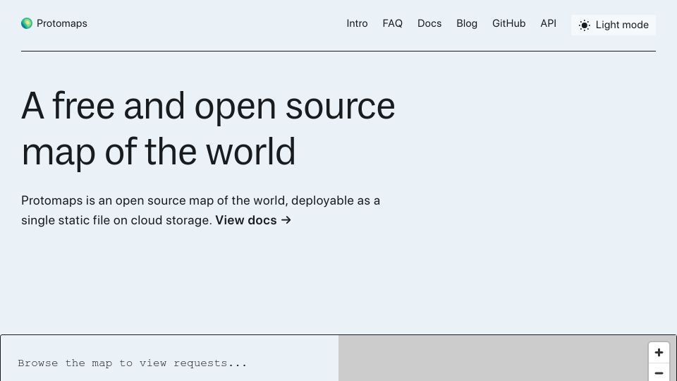
Homepage of Protomaps, an open source map of the world deployable as a single static file on cloud storage.
396 points by gslin | 65 comments
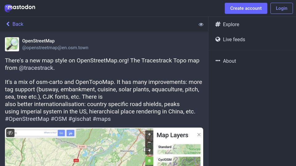
Mastodon post from OpenStreetMap announcing the Tracestrack Topo map style on OpenStreetMap.org, a mix of osm-carto and OpenTopoMap with more tag support and i18n.