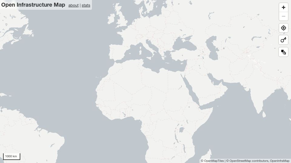
Open Infrastructure Map(openinframap.org)
136 points by throwup238 | 34 comments
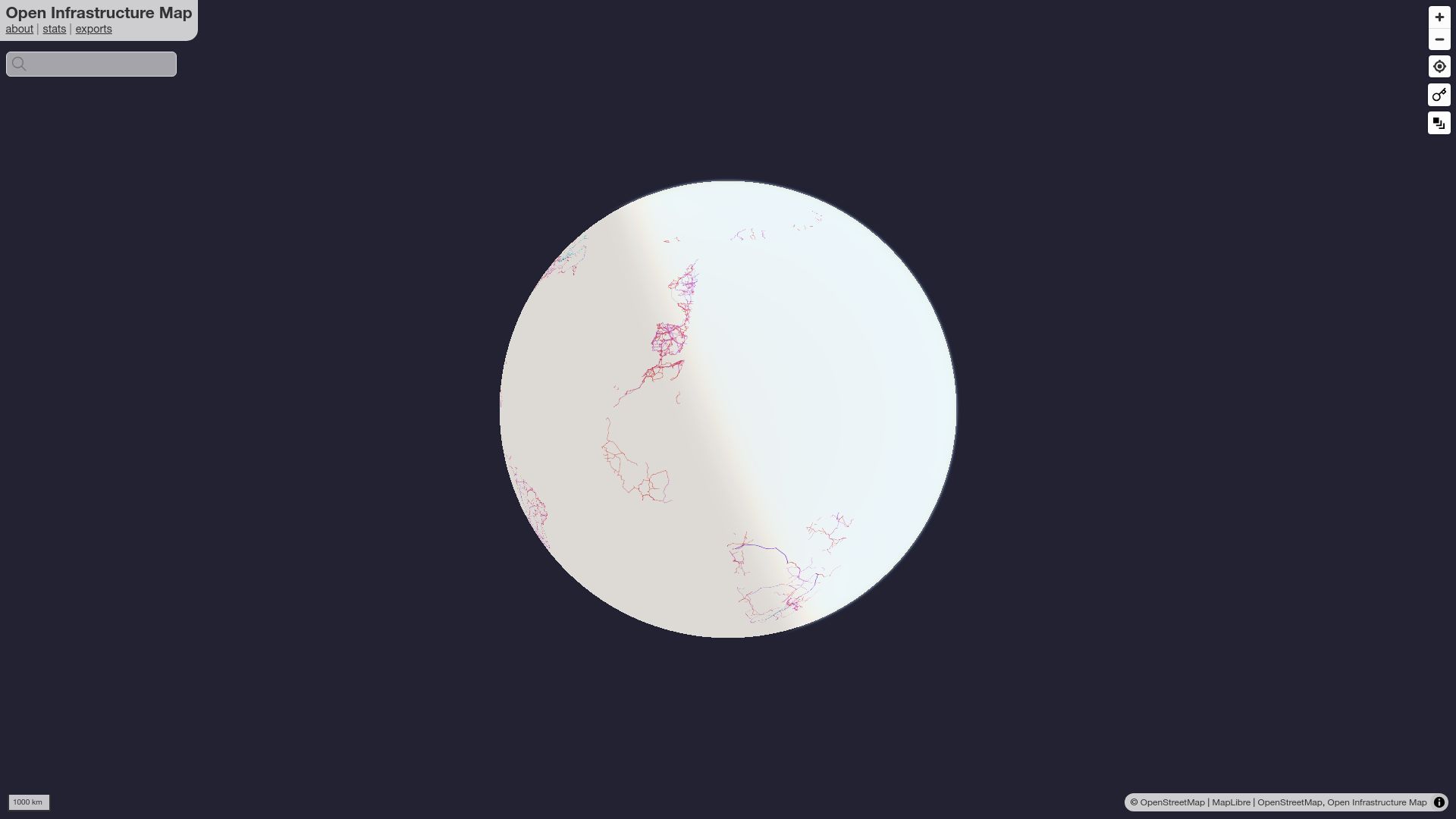
First screen, captured .
136 points by throwup238 | 34 comments
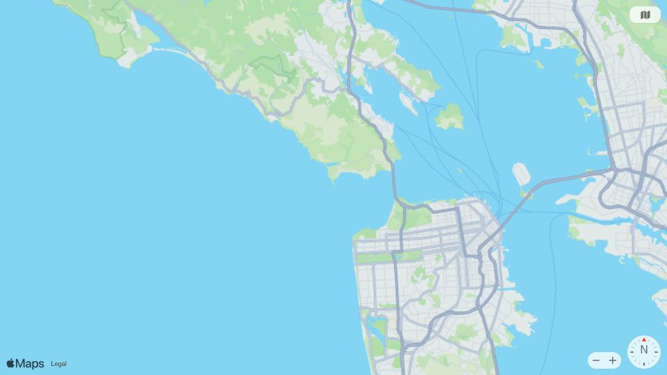
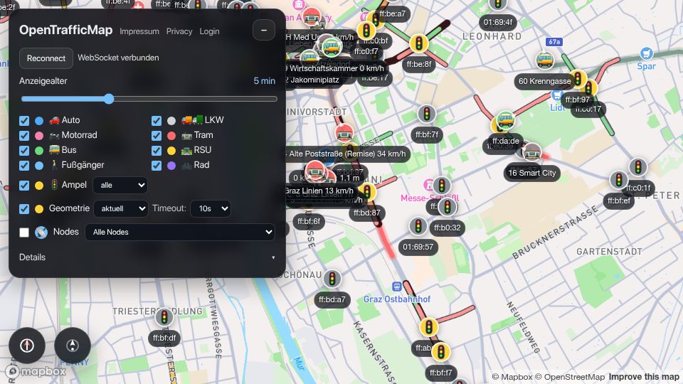
352 points by moooo99 | 93 comments
OpenTrafficMap is a live web map of traffic in Graz showing vehicles, trams, buses, pedestrians and traffic light states from V2X broadcasts over WebSocket.
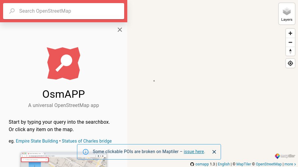
170 points by maelito | 53 comments
359 points by rvnx | 186 comments
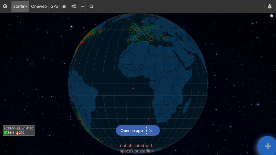
An interactive 3D globe showing live positions and coverage areas of Starlink satellites, with options for OneWeb and GPS constellations.

444 points by marklit | 142 comments
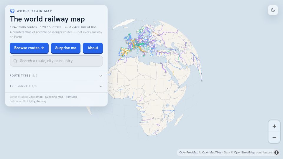
Mark Litwintschik's blog post examining OpenStreetMap's new vector tiles, which supplement its long-standing pre-rendered raster PNG tiles.

651 points by vortex_ape | 100 comments
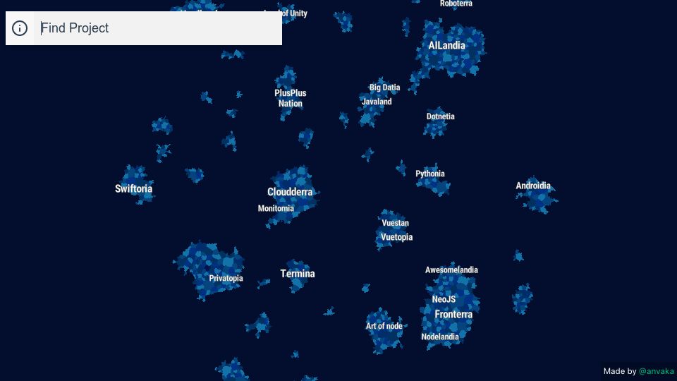
GitHub repository for anvaka's Map of GitHub, an interactive map visualizing GitHub repositories as countries based on shared stargazers.
396 points by gslin | 65 comments
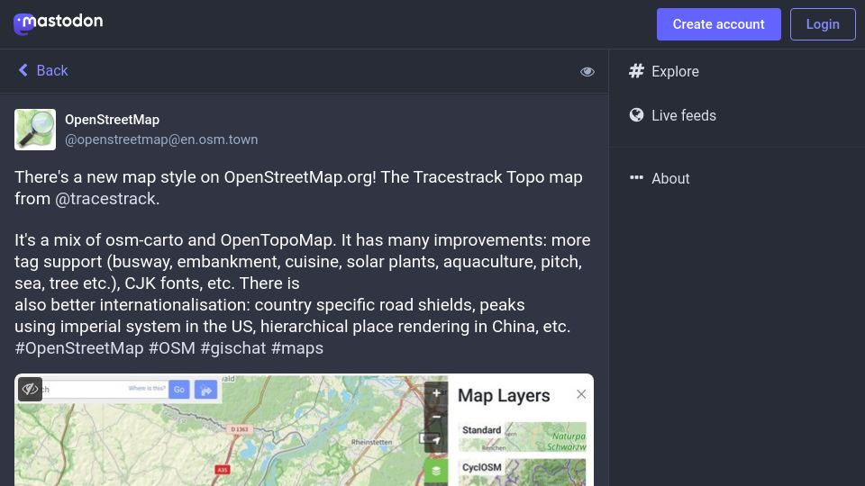
Mastodon post from OpenStreetMap announcing the Tracestrack Topo map style on OpenStreetMap.org, a mix of osm-carto and OpenTopoMap with more tag support and i18n.

373 points by gemanor | 103 comments
A Substack essay by OpenStreetMap founder Steve Coast reflecting on the project's 20th anniversary and its early growth.
359 points by rvnx | 186 comments
An interactive 3D globe showing live positions and coverage areas of Starlink satellites, with options for OneWeb and GPS constellations.
375 points by anvaka | 75 comments
An interactive map by anvaka that clusters GitHub projects into themed 'countries' based on shared stargazers, with a project search box.