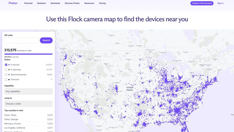
Proton Flock Camera Map(proton.me)
81 points by cdrnsf | 16 comments
Proton's interactive map of Flock Safety license plate reader cameras across the US, searchable by ZIP code, with background on the cameras and the data source.
37 stories tagged maps, newest first.
81 points by cdrnsf | 16 comments
Proton's interactive map of Flock Safety license plate reader cameras across the US, searchable by ZIP code, with background on the cameras and the data source.
213 points by molind | 40 comments
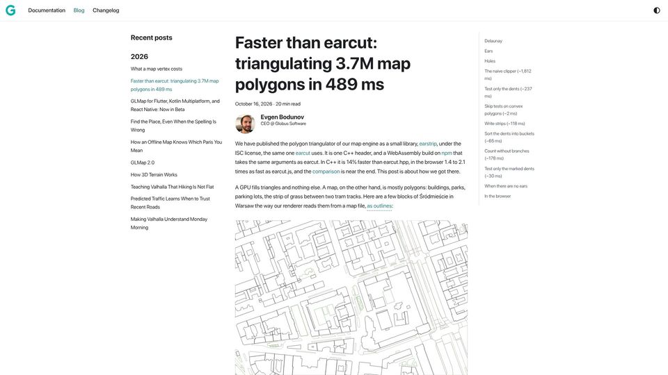
Blog post from Globus Software introducing earstrip, an open-source C++/WebAssembly polygon triangulator, and detailing step-by-step optimizations that beat earcut on map polygons.
15 points by civilchaos | 7 comments
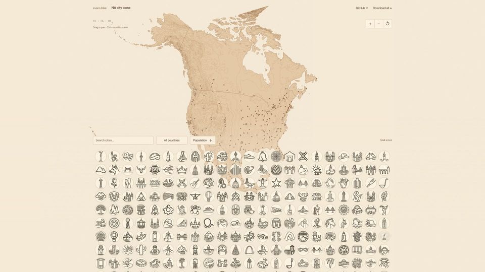
A free downloadable pack of 544 AI-generated icons, one for each North American city over 100k population, browsable via an interactive map and searchable grid.

212 points by bookofjoe | 29 comments
Engadget news article reporting that MapQuest's app now displays the locations of known Flock surveillance cameras in neighborhoods.

9 points by Thevet | 1 comments
A Public Domain Review collection page presenting the 1868 book Geographical Fun, which depicts European countries as humorous caricature figures shaped like their maps.
304 points by ishan0102 | 111 comments
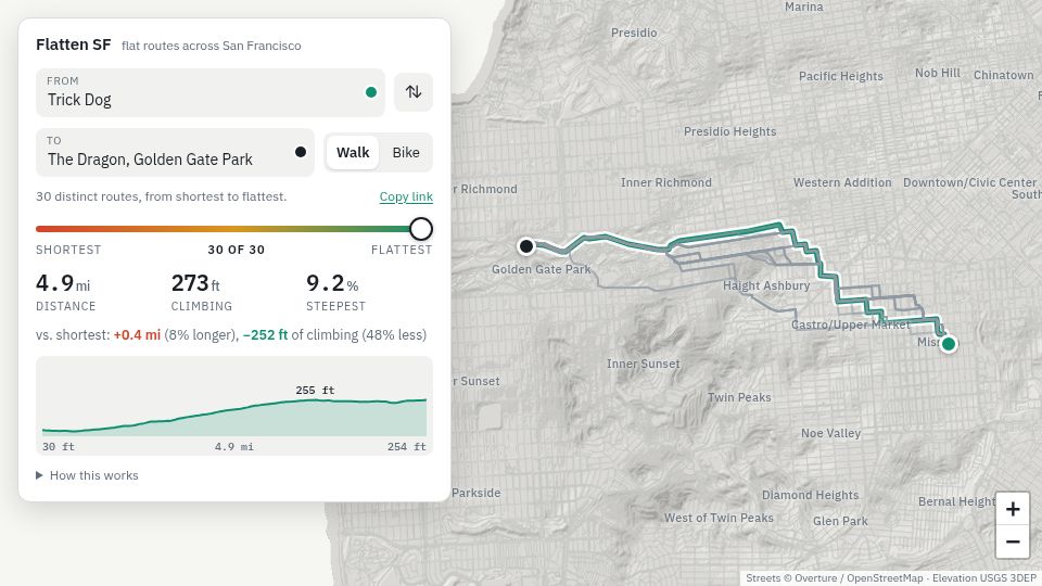
Flatten SF is a web map tool that finds walking or biking routes across San Francisco, trading distance for less hill climbing.

7 points by Thevet | 0 comments
Literary Review piece by Simon Bradley reviewing Will Millard's book Mapping Britain, a history of Britain told through the Ordnance Survey archives.
156 points by nicocarsui | 32 comments
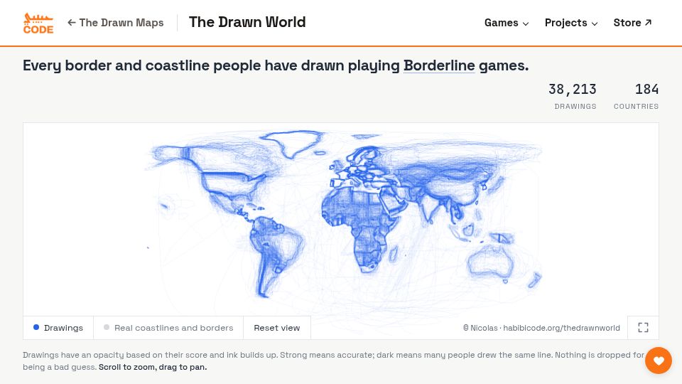
An interactive world map overlaying about 38,000 player-drawn borders and coastlines from the Borderline geography games, on 184 countries.
8 points by 91awebsi | 5 comments
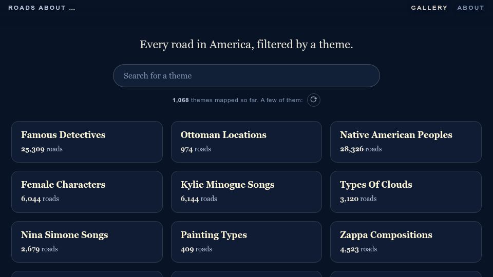
Interactive data visualization mapping US roads whose names match over 1,000 themes derived by cross-referencing Wikidata articles with OpenStreetMap roads.
101 points by armenarmen | 39 comments
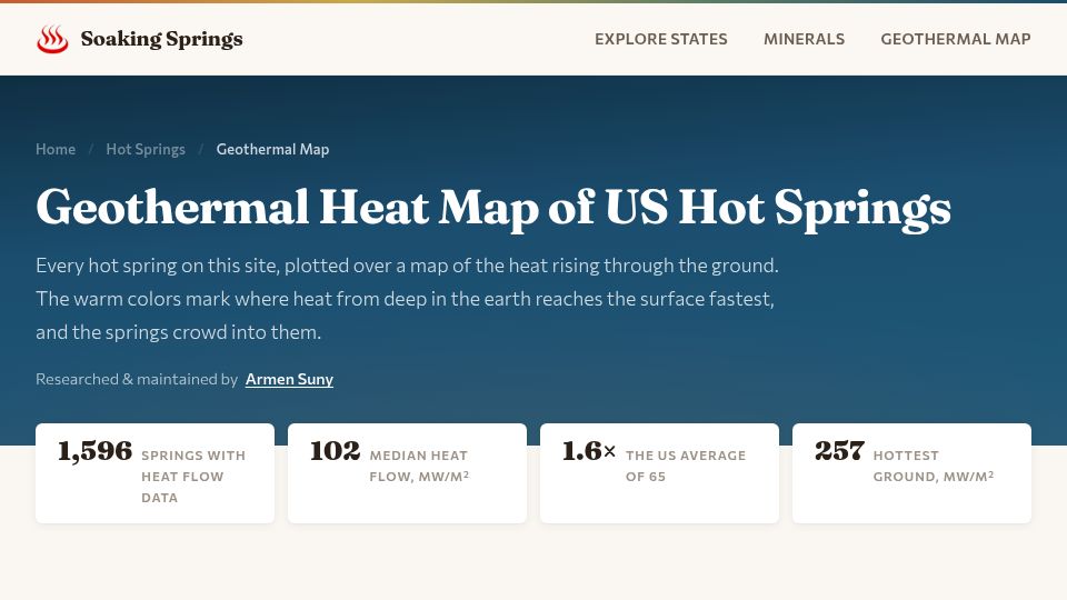
An interactive map plotting 1,596 US hot springs over a geothermal heat flow map, showing springs cluster where subsurface heat reaches the surface fastest.
323 points by rustywasm | 171 comments
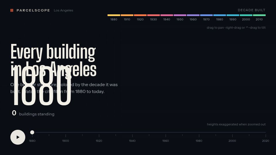
Parcelscope interactive visualization showing every building in Los Angeles colored by decade built, animating the city's growth from 1880 to today.

592 points by smoser | 186 comments
Interactive web demo of a curved, Inception-style map view for turn-by-turn navigation, shown in a dark tablet-like frame with a Start Navigation button.
742 points by speckx | 342 comments
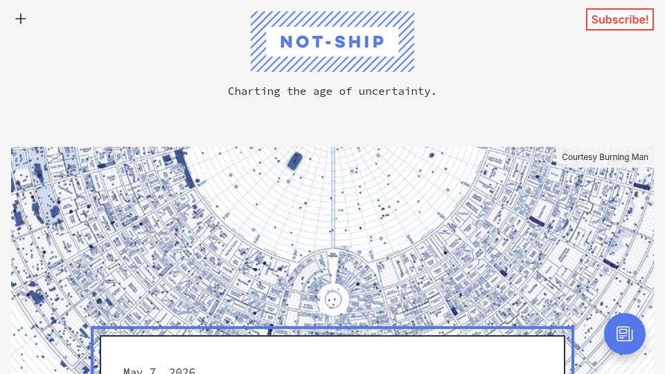
A Not-Ship newsletter article about the MOOP map Burning Man uses to track leftover debris and hold camps accountable for leaving no trace.

414 points by valzevul | 106 comments
A Design Diary blog post by indie developer David Smith recounting six years of work refining map features in his watchOS apps.
352 points by moooo99 | 93 comments
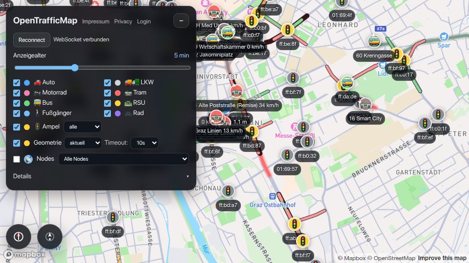
OpenTrafficMap is a live web map of traffic in Graz showing vehicles, trams, buses, pedestrians and traffic light states from V2X broadcasts over WebSocket.
536 points by PythonicNinja | 346 comments
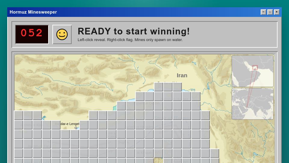
A browser-based Minesweeper game styled like Windows 95, played on a map grid of the Strait of Hormuz where mines only spawn on water.
414 points by efskap | 92 comments
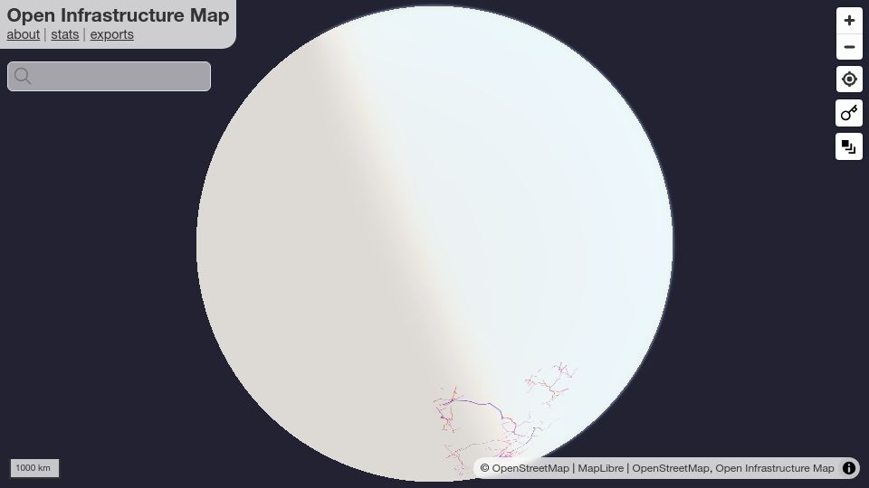
Open Infrastructure Map is an interactive globe map showing power lines, telecoms, oil, gas and other infrastructure from OpenStreetMap data.

333 points by mhb | 75 comments
AIGA Eye on Design article about Swiss cartographers secretly hiding small illustrations in Switzerland's official national maps for decades.
329 points by not_knuth | 135 comments
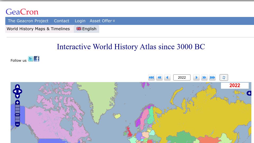
GeaCron's interactive world history atlas showing political maps and borders by year from 3000 BC to the present.
826 points by alazsengul | 457 comments
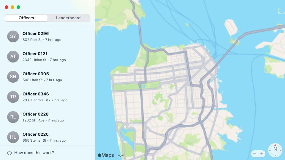
An interactive map of San Francisco listing parking enforcement officers by recent ticket locations, with an officer leaderboard.
341 points by aagha | 489 comments
Maps.com article by Joshua Stevens about a south-up world map designed by cartographer Robert Simmon that challenges the north-up convention.

463 points by LourensT | 107 comments
An interactive live map showing London Underground trains in real time, with zoomable 3D buildings and hover details.
504 points by venusgirdle | 163 comments
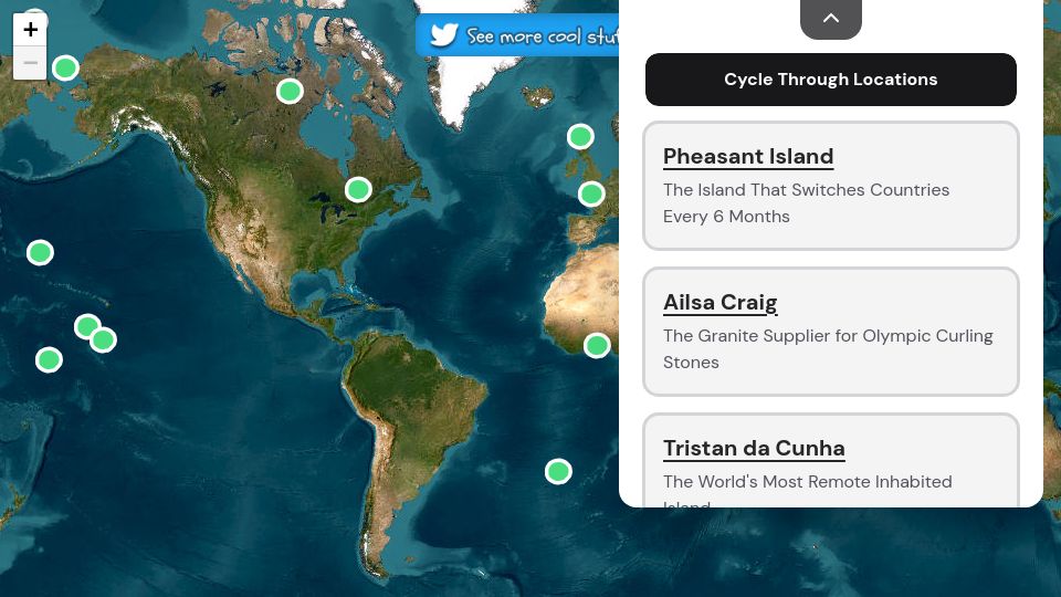
An interactive world map highlighting obscure islands like Pheasant Island, Ailsa Craig, and Tristan da Cunha with short descriptions of each.

436 points by jamesy0ung | 64 comments
GitHub repository for Arnis, a Rust tool that generates real-world locations in Minecraft Java Edition from OpenStreetMap data.
430 points by gaws | 52 comments
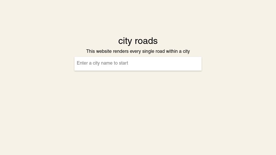
City Roads is a web tool by anvaka that renders every road within a chosen city using OpenStreetMap data, starting from a city name search box.

651 points by vortex_ape | 100 comments
GitHub repository for anvaka's Map of GitHub, an interactive map visualizing GitHub repositories as countries based on shared stargazers.

444 points by marklit | 142 comments
Mark Litwintschik's blog post examining OpenStreetMap's new vector tiles, which supplement its long-standing pre-rendered raster PNG tiles.

410 points by gaws | 85 comments
A blog post on Goldwag's Journal on Civilization presenting visualizations and maps of World War II history.

390 points by ingve | 450 comments
Apple Newsroom announcement from July 24, 2024 that Apple Maps is now available in beta on the web.

460 points by gslin | 146 comments
A page showing the major roads of the ancient Roman Empire drawn in the style of a modern subway map, here as featured in an Open Culture article.
369 points by wfme | 109 comments
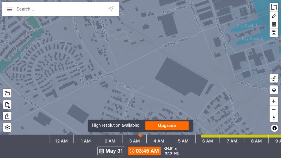
ShadeMap is an interactive web map that simulates shadows cast by terrain, buildings and trees worldwide for any chosen date and time.

967 points by mjs | 271 comments
Flightradar24 blog post introducing its new map showing areas of GPS jamming and interference detected from aircraft data.

328 points by todsacerdoti | 33 comments
Blog post by Mary Knize on rendering OpenStreetMap data to an HTML5 canvas using Rust and WebAssembly, for a revamp of her Disney wait-times project Line Buddy.
348 points by udev4096 | 83 comments
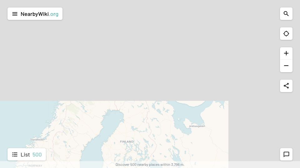
NearbyWiki is an interactive map web app that shows Wikipedia-listed places near a chosen location.
377 points by wcedmisten | 135 comments
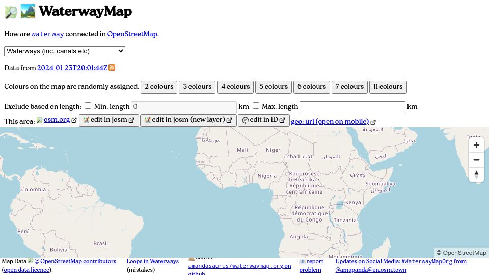
WaterwayMap is an interactive map showing how waterways and canals are connected in OpenStreetMap data, with randomly colored connected river networks.
847 points by Amithv | 195 comments
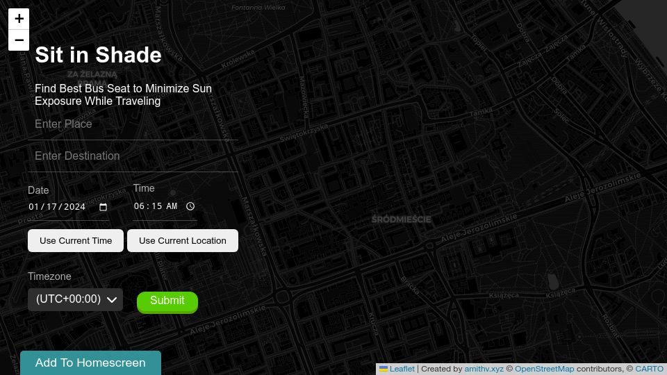
Sit in Shade is a web app that takes origin, destination, date and time to recommend which bus seat side avoids sun exposure.

909 points by rcarmo | 147 comments
Homepage of Protomaps, an open source map of the world deployable as a single static file on cloud storage.