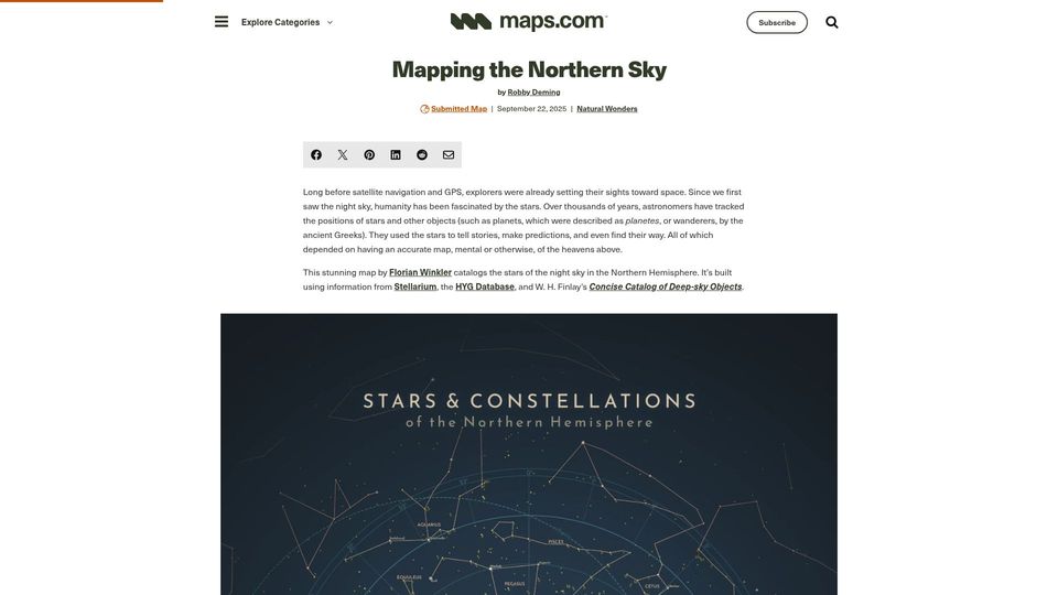
Mapping the Northern Sky(maps.com)
32 points by tmseidman | 10 comments
Maps.com article featuring Florian Winkler's star map of the stars, Messier objects, and constellations of the Northern Hemisphere sky.
14 stories tagged cartography, newest first.
32 points by tmseidman | 10 comments
Maps.com article featuring Florian Winkler's star map of the stars, Messier objects, and constellations of the Northern Hemisphere sky.
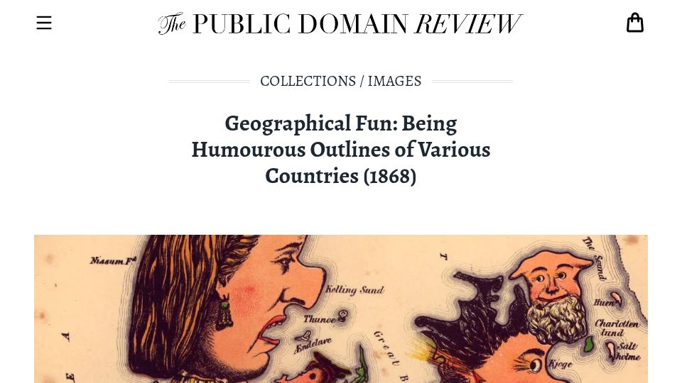
9 points by Thevet | 1 comments
A Public Domain Review collection page presenting the 1868 book Geographical Fun, which depicts European countries as humorous caricature figures shaped like their maps.
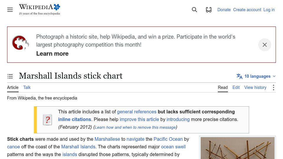
31 points by Thevet | 4 comments
Wikipedia article on Marshall Islands stick charts, used by Marshallese navigators to represent ocean swell patterns and how islands disrupt them for canoe navigation.
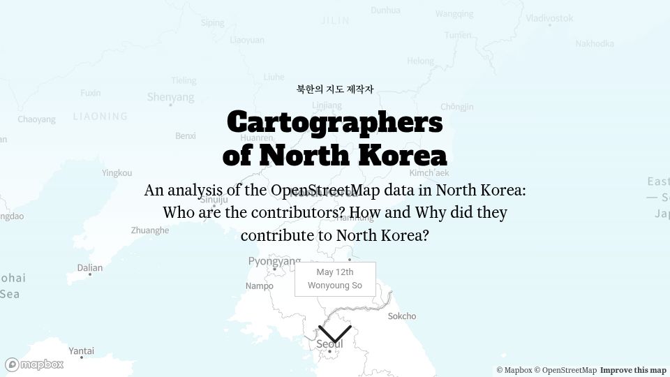
306 points by edent | 63 comments
An interactive analysis by Wonyoung So of OpenStreetMap data for North Korea, examining who its contributors are and how and why they mapped the country.
7 points by Thevet | 0 comments
Literary Review piece by Simon Bradley reviewing Will Millard's book Mapping Britain, a history of Britain told through the Ordnance Survey archives.
220 points by kspacewalk2 | 72 comments
A Substack post investigating why Yemen's commonly cited area of 555,000 sq km differs from map measurements, tracing a century-old misinformation.
548 points by turtleyacht | 59 comments
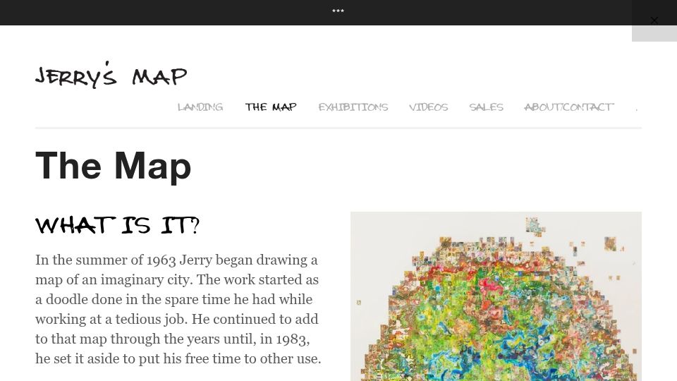
Page on Jerry Gretzinger's website describing Jerry's Map, an ever-growing hand-drawn map of an imaginary city begun in 1963.
333 points by mhb | 75 comments
AIGA Eye on Design article about Swiss cartographers secretly hiding small illustrations in Switzerland's official national maps for decades.
341 points by aagha | 489 comments
Maps.com article by Joshua Stevens about a south-up world map designed by cartographer Robert Simmon that challenges the north-up convention.
1187 points by agilek | 171 comments
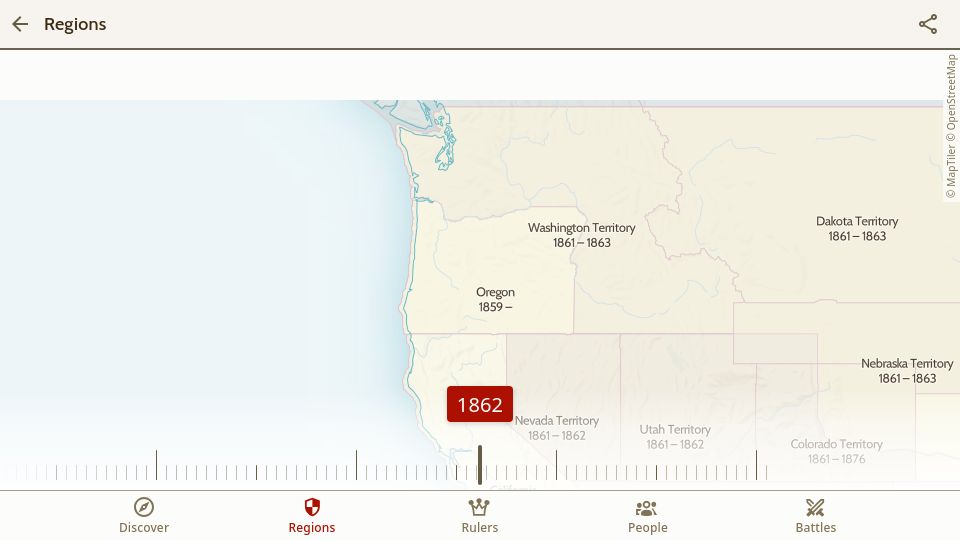
Interactive historical map showing region borders over time with a year slider, plus sections for rulers, people, and battles.
460 points by gslin | 146 comments
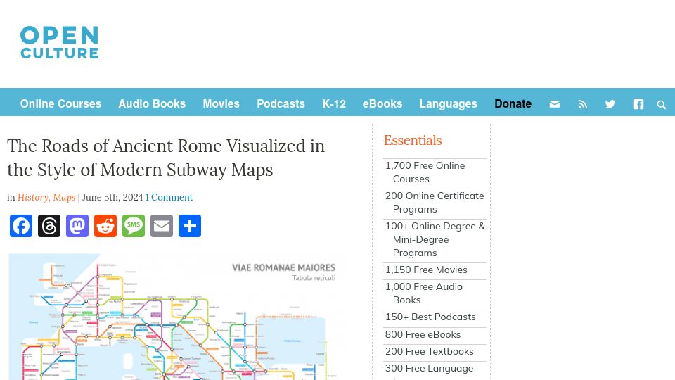
A page showing the major roads of the ancient Roman Empire drawn in the style of a modern subway map, here as featured in an Open Culture article.
417 points by starkparker | 41 comments
K. M. Alexander's #NoBadMaps project page offering brush sets and tools for creating historically styled fantasy maps.
396 points by gslin | 65 comments
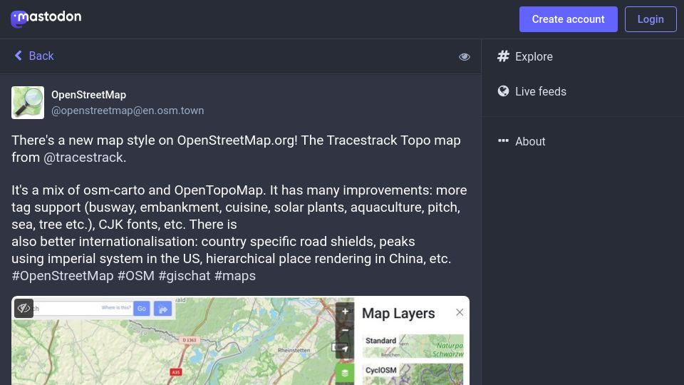
Mastodon post from OpenStreetMap announcing the Tracestrack Topo map style on OpenStreetMap.org, a mix of osm-carto and OpenTopoMap with more tag support and i18n.
599 points by yarapavan | 291 comments
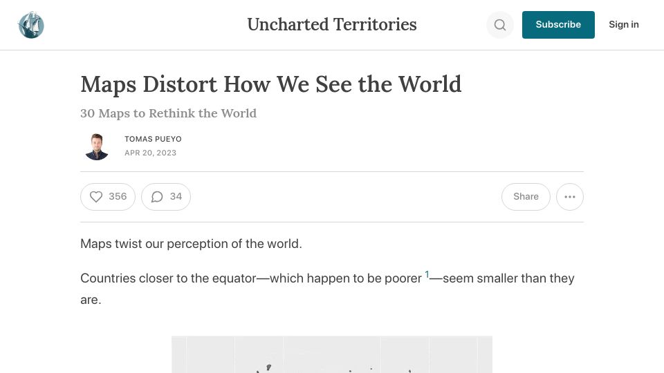
A Tomas Pueyo Uncharted Territories newsletter post presenting 30 maps showing how map projections distort perceived country sizes, especially near the equator.