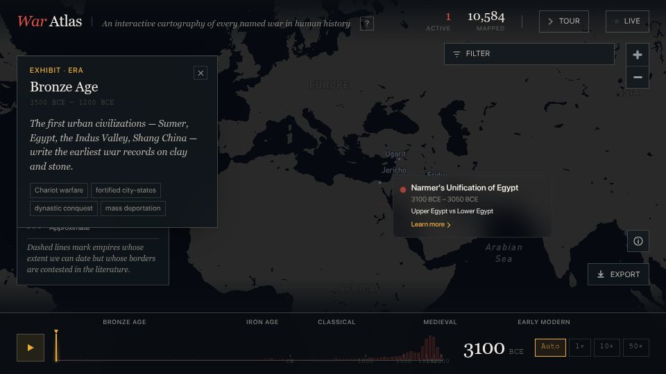
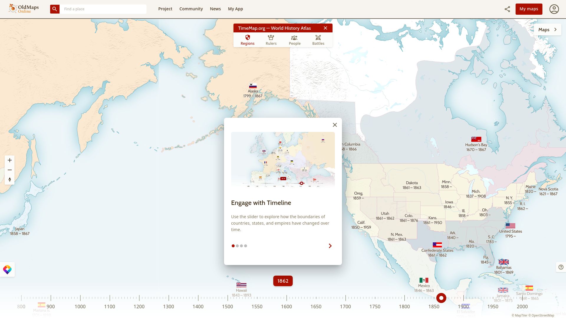
First screen, captured .
Looks similar
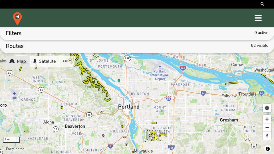
Gravel Map(gravelmap.com)
43 points by jxmorris12 | 11 comments
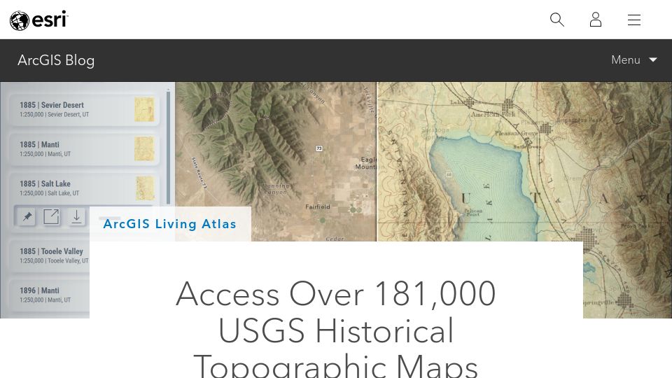
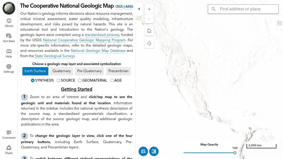
USGS Historical Topographic Maps(esri.com)
217 points by bryanrasmussen | 42 comments
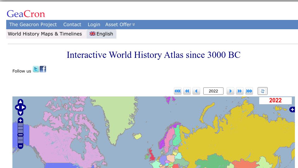
Interactive World History Atlas Since 3000 BC(geacron.com)
329 points by not_knuth | 135 comments
GeaCron's interactive world history atlas showing political maps and borders by year from 3000 BC to the present.
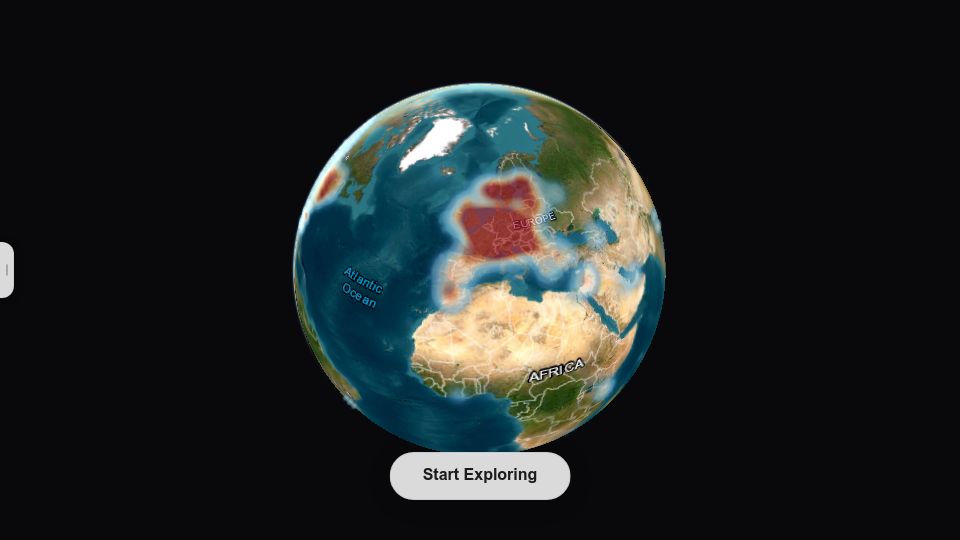
Related stories
Interactive World History Atlas Since 3000 BC(geacron.com)
329 points by not_knuth | 135 comments
GeaCron's interactive world history atlas showing political maps and borders by year from 3000 BC to the present.

Map of GitHub(github.com)
651 points by vortex_ape | 100 comments
GitHub repository for anvaka's Map of GitHub, an interactive map visualizing GitHub repositories as countries based on shared stargazers.
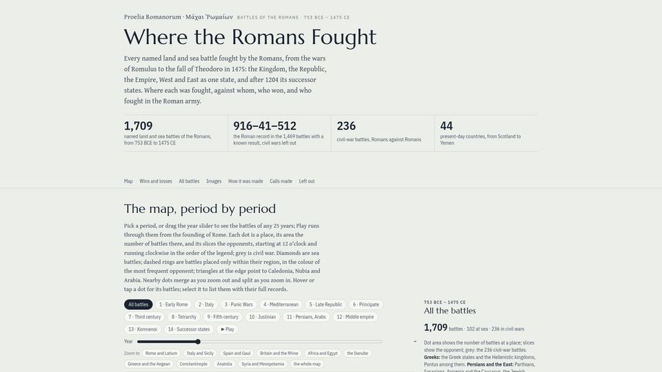
Where the Romans Fought (interactive map)(iosiflazaridis.github.io)
127 points by endorphine | 49 comments
An interactive map and dataset of all 1,709 named land and sea battles fought by the Romans from 753 BCE to 1475 CE, with opponents, results and records.
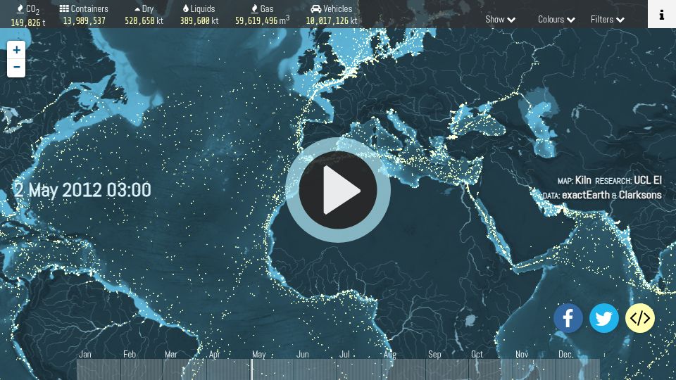
Shipmap.org(shipmap.org)
736 points by surprisetalk | 112 comments
Interactive animated map visualizing global commercial shipping movements during 2012, with cargo types and CO2 emissions, by Kiln and UCL Energy Institute.
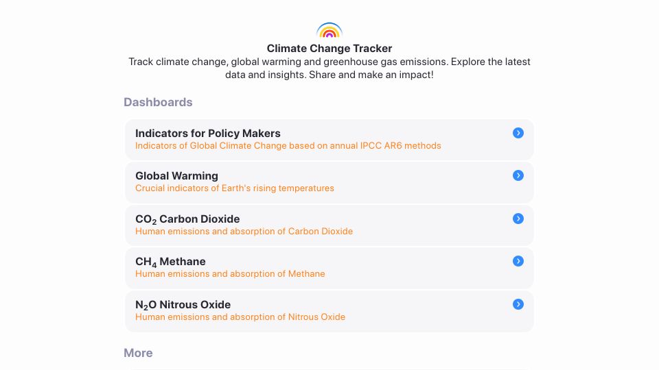
Climate Change Tracker(climatechangetracker.org)
374 points by Brajeshwar | 192 comments
Climate Change Tracker is a website with dashboards tracking global warming, CO2, methane, and nitrous oxide emissions, plus IPCC-based indicators for policy makers.
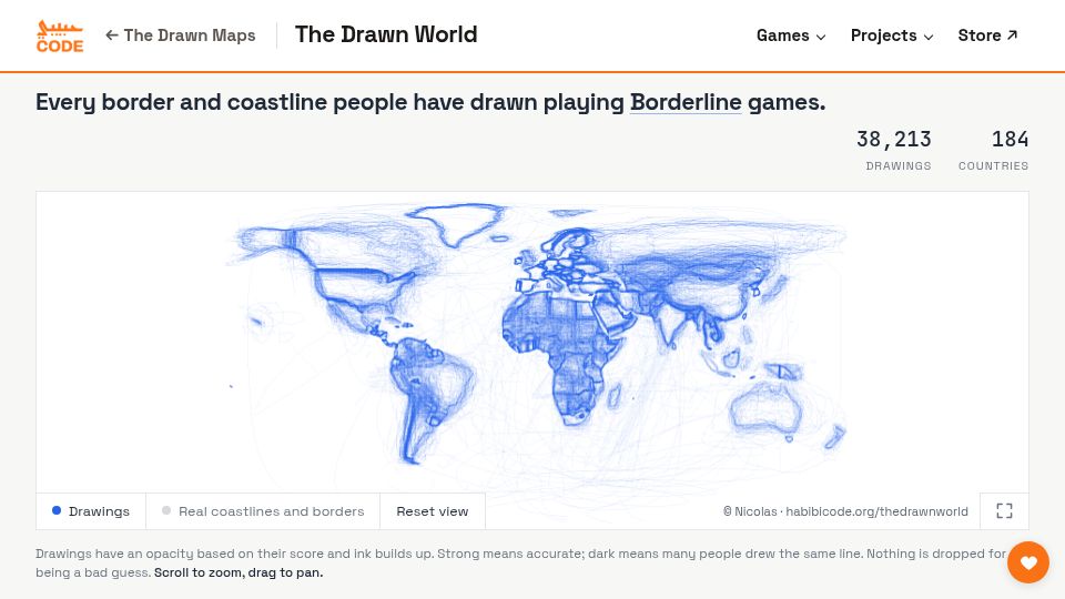
37,500 border drawings: a map of the world as people remember it(habibicode.org)
156 points by nicocarsui | 32 comments
An interactive world map overlaying about 38,000 player-drawn borders and coastlines from the Borderline geography games, on 184 countries.