Marshall Islands Stick Chart(en.wikipedia.org)
31 points by Thevet | 4 comments
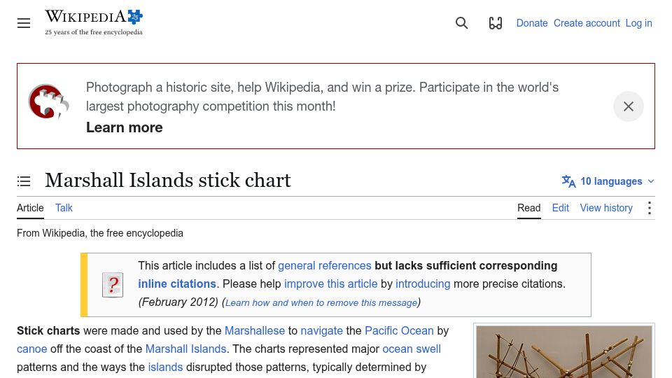
Wikipedia article on Marshall Islands stick charts, used by Marshallese navigators to represent ocean swell patterns and how islands disrupt them for canoe navigation.
6 stories tagged navigation, newest first.
31 points by Thevet | 4 comments
Wikipedia article on Marshall Islands stick charts, used by Marshallese navigators to represent ocean swell patterns and how islands disrupt them for canoe navigation.
592 points by smoser | 186 comments
Interactive web demo of a curved, Inception-style map view for turn-by-turn navigation, shown in a dark tablet-like frame with a Start Navigation button.
730 points by basilikum | 180 comments
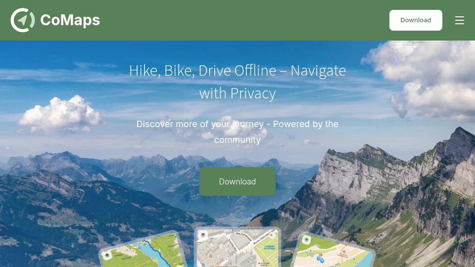
Homepage of CoMaps, a free and open-source, community-driven offline maps app for hiking, biking, and driving navigation with privacy.
1073 points by tosh | 337 comments
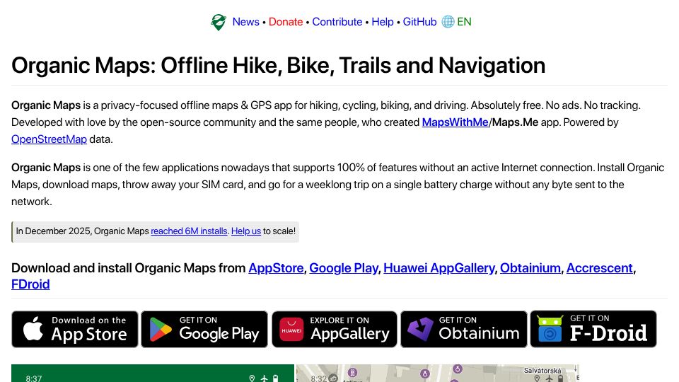
Homepage of Organic Maps, a free, open-source, privacy-focused offline maps and GPS navigation app for hiking, cycling and driving built on OpenStreetMap data.
494 points by MahiShafiullah | 103 comments
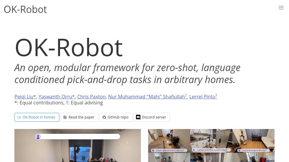
Project page for OK-Robot, an open, modular framework for zero-shot, language-conditioned pick-and-drop tasks by robots in arbitrary homes.
1253 points by LeoPanthera | 454 comments
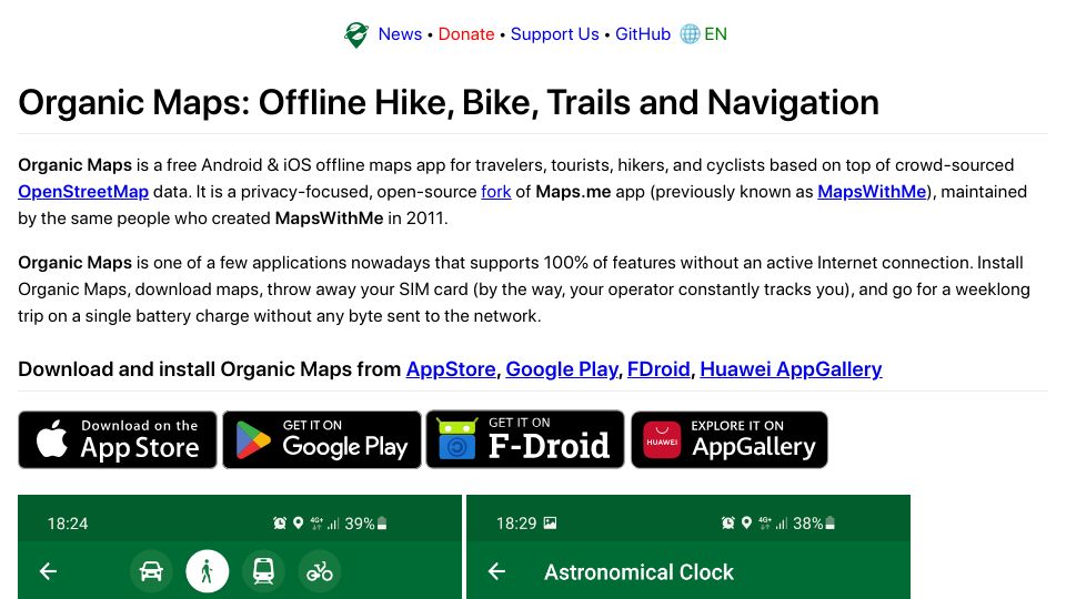
Homepage of Organic Maps, a free, open-source, privacy-focused offline maps app for Android and iOS based on OpenStreetMap and forked from Maps.me.