
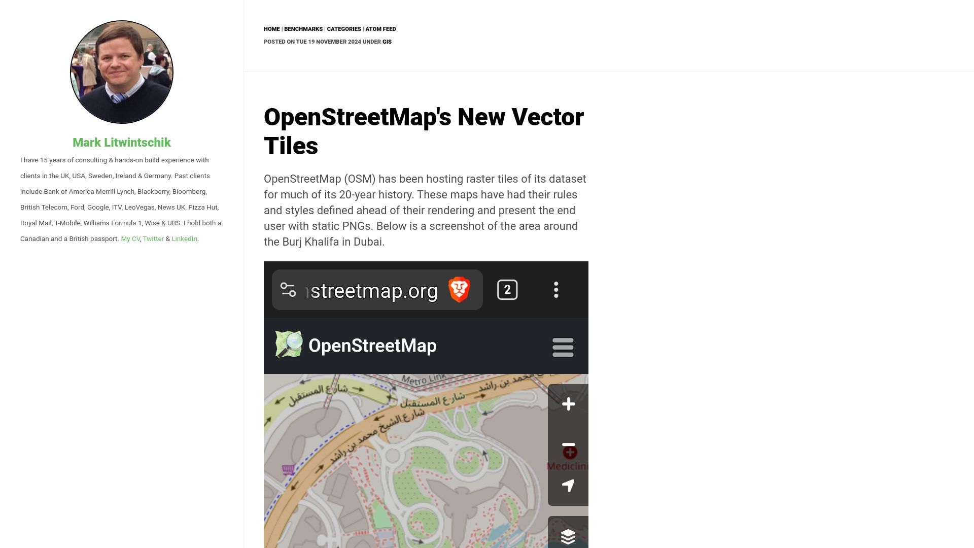
First screen, captured .
Looks similar

Maxar's Open Satellite Feed(tech.marksblogg.com)
167 points by ingve | 19 comments
131M American Buildings(tech.marksblogg.com)
161 points by marklit | 32 comments

Wyvern's Open Satellite Feed(tech.marksblogg.com)
192 points by marklit | 12 comments


The World's 2.75B Buildings(tech.marksblogg.com)
117 points by marklit | 55 comments
Related stories
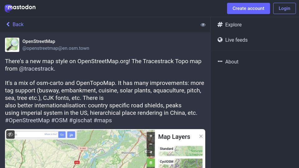
There's a new map style on OpenStreetMap.org(en.osm.town)
396 points by gslin | 65 comments
Mastodon post from OpenStreetMap announcing the Tracestrack Topo map style on OpenStreetMap.org, a mix of osm-carto and OpenTopoMap with more tag support and i18n.

Map of GitHub(github.com)
651 points by vortex_ape | 100 comments
GitHub repository for anvaka's Map of GitHub, an interactive map visualizing GitHub repositories as countries based on shared stargazers.
OpenStreetMap Is Turning 20(stevecoast.substack.com)
373 points by gemanor | 103 comments
A Substack essay by OpenStreetMap founder Steve Coast reflecting on the project's 20th anniversary and its early growth.
Overture Maps Foundation releases open map dataset(overturemaps.org)
384 points by chippy | 87 comments
Overture Maps Foundation blog post announcing its first worldwide open map dataset, covering layers such as places, buildings, transportation, and administrative boundaries.
Translating OpenStreetMap data to HTML5 Canvas with Rust and WebAssembly(mary.codes)
328 points by todsacerdoti | 33 comments
Blog post by Mary Knize on rendering OpenStreetMap data to an HTML5 canvas using Rust and WebAssembly, for a revamp of her Disney wait-times project Line Buddy.
Make your first edit to OpenStreetMap(high5apps.github.io)
596 points by juliantigler | 139 comments
A quick tutorial guiding newcomers to make a first OpenStreetMap edit by adding an official website tag to a nearby shop or amenity.