First screen, captured .
Looks similar
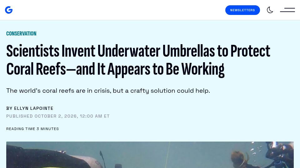
Scientists invent underwater umbrellas to protect coral reefs(gizmodo.com)
28 points by giuliomagnifico | 12 comments
Gizmodo article about scientists deploying underwater umbrella-like shades to protect coral reefs from bleaching, with early results suggesting it works.
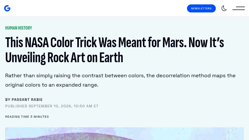
Technique for Manipulating Satellite Photos Now Reveals Ancient Images (2025)(spinoff.nasa.gov)
365 points by gumby | 62 comments
Article on how NASA's decorrelation stretch color-enhancement technique, developed for planetary imagery, is used to reveal faded ancient rock art.
Related stories
Our Solar System Is Terminally Unstable(404media.co)
6 points by saikatsg | 1 comments
A 404 Media article on a study finding the solar system is dynamically unstable over long timescales and will eventually be destroyed.
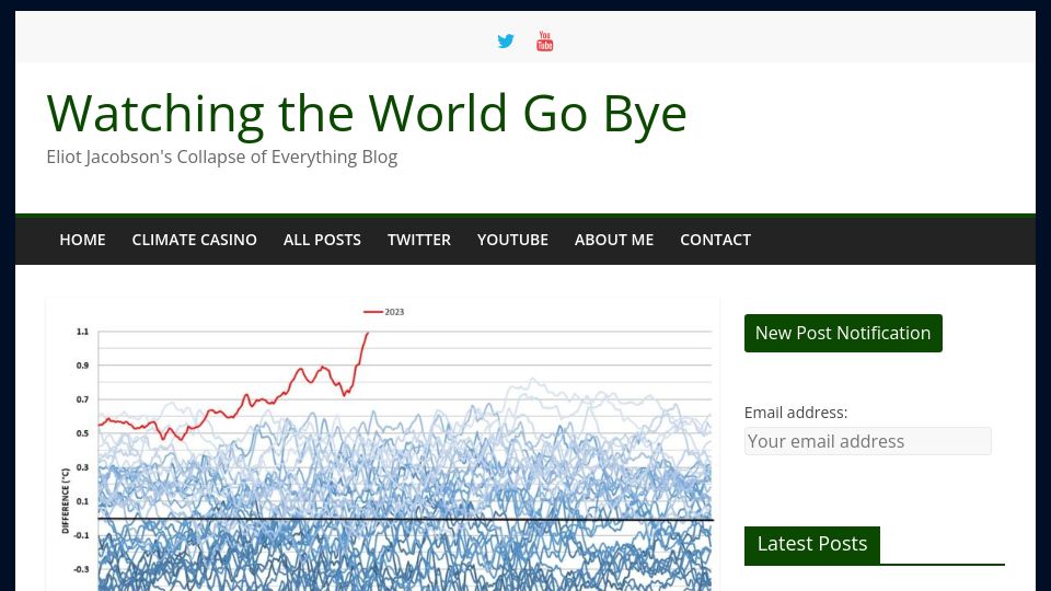
The concurrence of three climatic events(climatecasino.net)
360 points by xemoka | 192 comments
A blog post on Eliot Jacobson's climate blog giving an overview of concurrent climate anomalies in 2023, including record global temperature departures.
Refusing to teach kids math will not improve equity(noahpinion.blog)
526 points by bankershill | 485 comments
Noah Smith's Noahpinion essay arguing that eliminating or delaying advanced math instruction in public schools will not improve educational equity.
Australia/Lord_Howe is the weirdest timezone(ssoready.com)
1051 points by noleary | 424 comments
SSOReady engineering blog post explaining a conceptual model of timezones by examining the weirdest ones, such as Australia/Lord_Howe's 30-minute DST shift.
In Europe, wind and solar overtake fossil fuels(e360.yale.edu)
656 points by speckx | 676 comments
Yale Environment 360 digest article reporting that wind and solar power generated more electricity than fossil fuels in Europe.
DuckDB is probably the most important geospatial software of the last decade(dbreunig.com)
444 points by dbreunig | 139 comments
Blog post by Drew Breunig arguing that DuckDB's spatial extension has made geospatial data accessible to far more people than specialized GIS tools.