John Snow Cholera Data(johnsnow.rtwilson.com)
5 points by surprisetalk | 2 comments
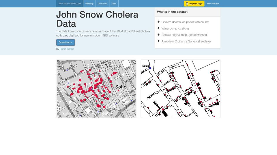
A dataset by Robin Wilson digitising John Snow's 1854 Broad Street cholera map, with death points, pump locations, and georeferenced maps for GIS software.
2 stories tagged geospatial-data, newest first.
5 points by surprisetalk | 2 comments
A dataset by Robin Wilson digitising John Snow's 1854 Broad Street cholera map, with death points, pump locations, and georeferenced maps for GIS software.

798 points by brw | 181 comments
Interactive Three.js demo rendering a 3D wireframe indoor map of Shinjuku Station by floor, built from Japan MLIT open indoor map data.