State-zip-code-GeoJSON github.com ↗
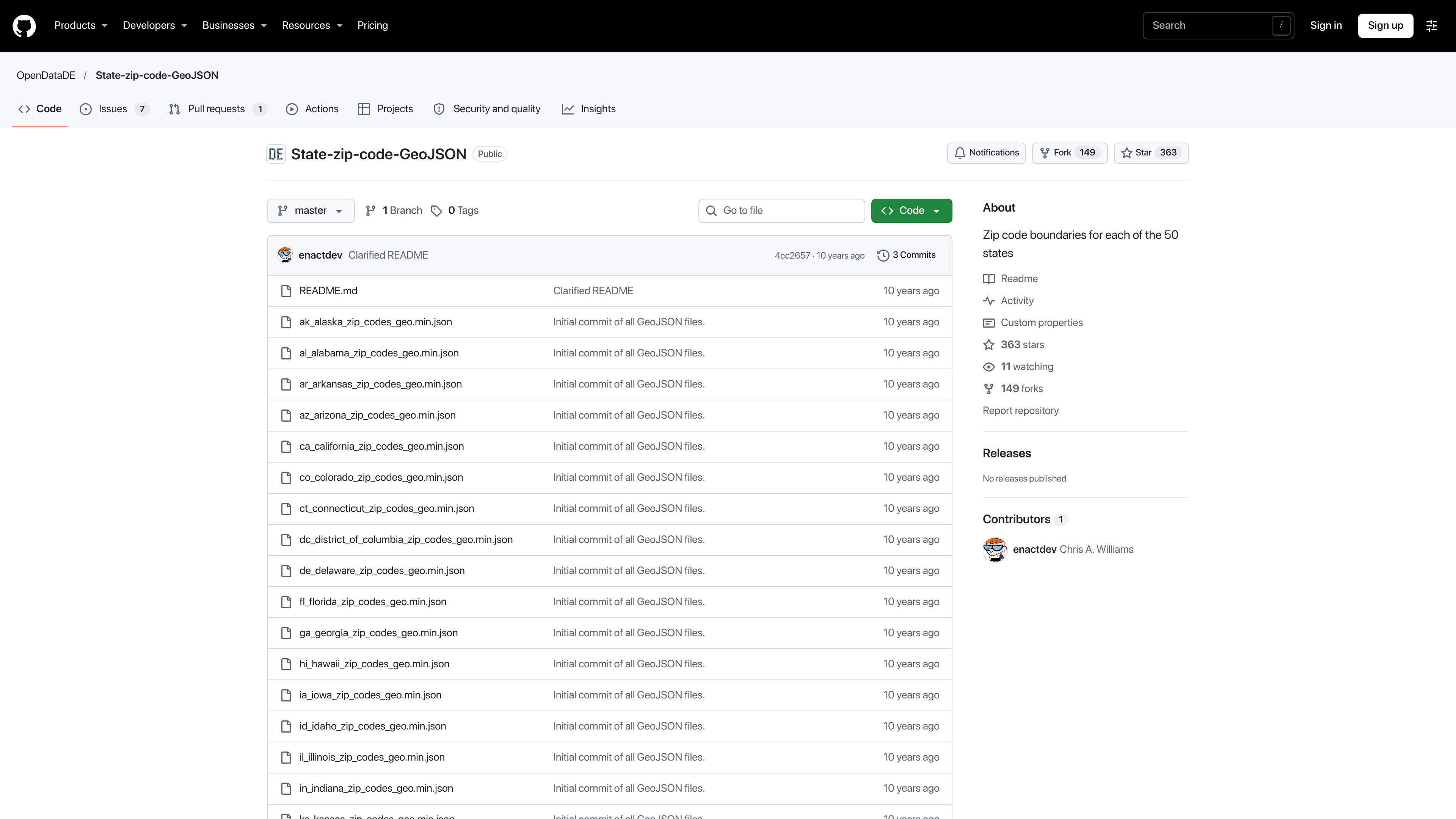
GitHub repository of ZIP code boundary GeoJSON files organised by US state.
OtherData & analyticsgeojsonzip-codesopen-data
Captured
Recommended in 0 threads
Similar tools
- 1 thread
- ZIP Code Tabulation Areas ↗Data & analytics1 thread
Free Census Bureau approximations of ZIP Code areas, published as shapefiles.
- coord2state ↗Frameworks & libraries0 threads
JavaScript library that maps latitude and longitude to country, state and city using a small in-memory lookup.
- Postpass ↗Data & analytics1 thread
A Geofabrik service exposing OpenStreetMap data in Postgres for SQL queries over an HTTP API.
- 1 thread
- 1 thread
- 2 threads
- 1 thread


Also in Data & analytics
- Electricity Maps ↗2 threads
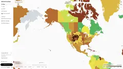
A service showing real-time and historical carbon intensity of electricity grids worldwide.
- 2 threads
- 2 threads
- 2 threads
- America's Digital Shield ↗1 thread
A project that captures ephemeral search and social feed content from politically balanced volunteers to study bias.
- 1 thread
- 1 thread
- 1 thread
- 1 thread
- 1 thread
- 1 thread
- DQYDJ Stock Return Calculator ↗1 thread
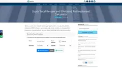
A web calculator that computes historical stock returns including reinvested dividends.






Link from a commenter, not checked or endorsed by us: ↗ https://github.com/OpenDataDE/State-zip-code-GeoJSON