Waterway Map(waterwaymap.org)
377 points by wcedmisten | 135 comments
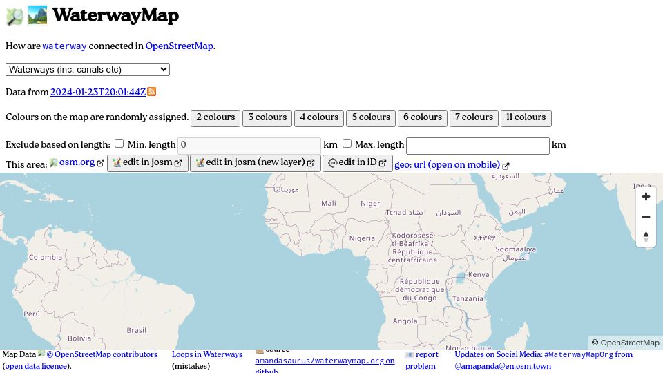
WaterwayMap is an interactive map showing how waterways and canals are connected in OpenStreetMap data, with randomly colored connected river networks.
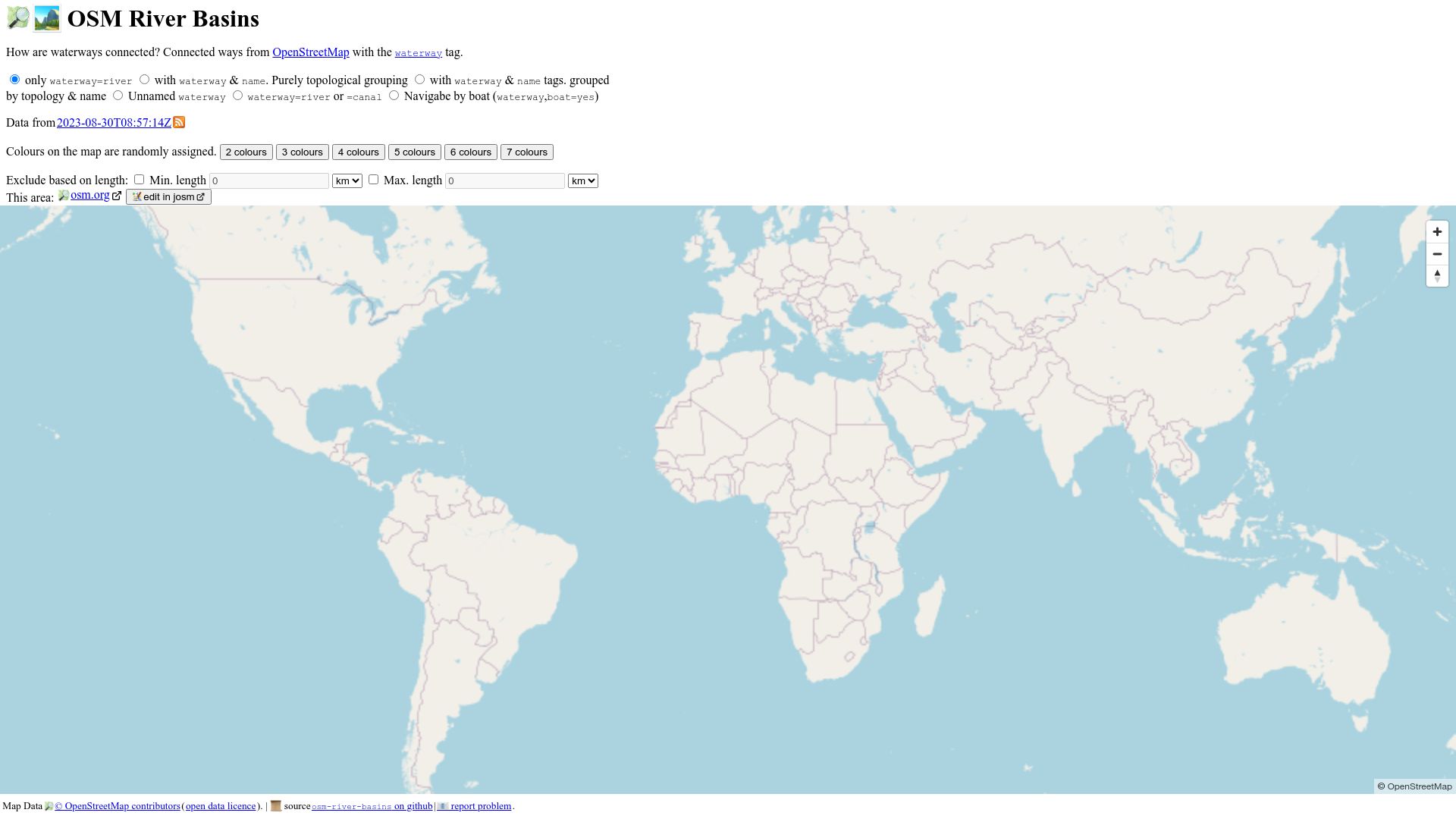
First screen, captured .
377 points by wcedmisten | 135 comments
WaterwayMap is an interactive map showing how waterways and canals are connected in OpenStreetMap data, with randomly colored connected river networks.
136 points by throwup238 | 34 comments
414 points by efskap | 92 comments
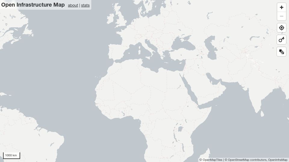
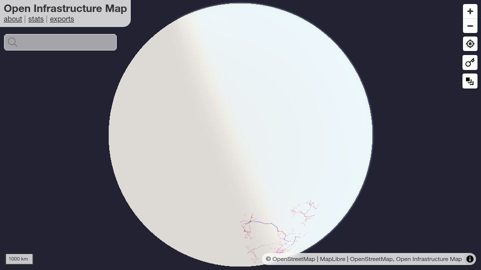
Open Infrastructure Map is an interactive globe map showing power lines, telecoms, oil, gas and other infrastructure from OpenStreetMap data.
170 points by maelito | 53 comments
396 points by gslin | 65 comments
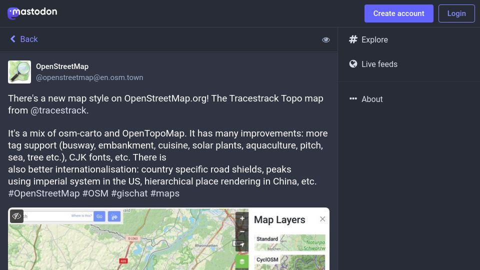
Mastodon post from OpenStreetMap announcing the Tracestrack Topo map style on OpenStreetMap.org, a mix of osm-carto and OpenTopoMap with more tag support and i18n.